Building a Stronger Future with Expert Engineering Solutions!
Hydrological assessment of Marquis River basin
Responsibilities
Client
UBEC/Department of Finance, Government of St. Lucia
Project Details
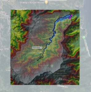
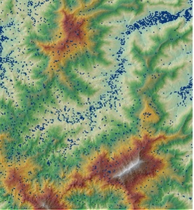
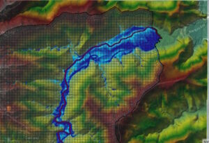
The watershed was delineated from the Digital Elevation Model (DEM) produced from recent aerial LiDAR (Light Detection and Ranging) data acquired in 2020 which was processed by the GIS function in the software HEC-HMS. The LiDAR data (point elevations and break lines) was used to generate a digital terrain model (DTM) Figure 13, providing 1 m contours (5 m contours in steep terrain).
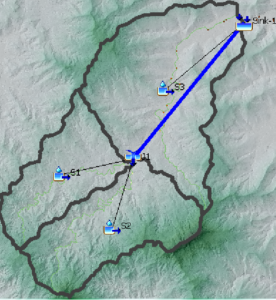
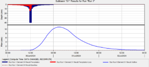
The software allowed for rainfall to be converted into runoff and routed from the three subbasins to the sink downstream in the river basin. The assignment entailed the modeling of a rainfall storm event to determine the peak flows/discharge in the Marquis River basin. The peak flows is used to undertake the design of drainage infrastructure.
Photos

Collaborate With Us
We actively seek new opportunities and are open to international collaborations. Reach out, and our team will connect with you to initiate the proposal process.
